- SEE & DO
- EAT & DRINK
- STAY & VISIT
- EVENTS
- BUSINESS DIRECTORY
- MORE
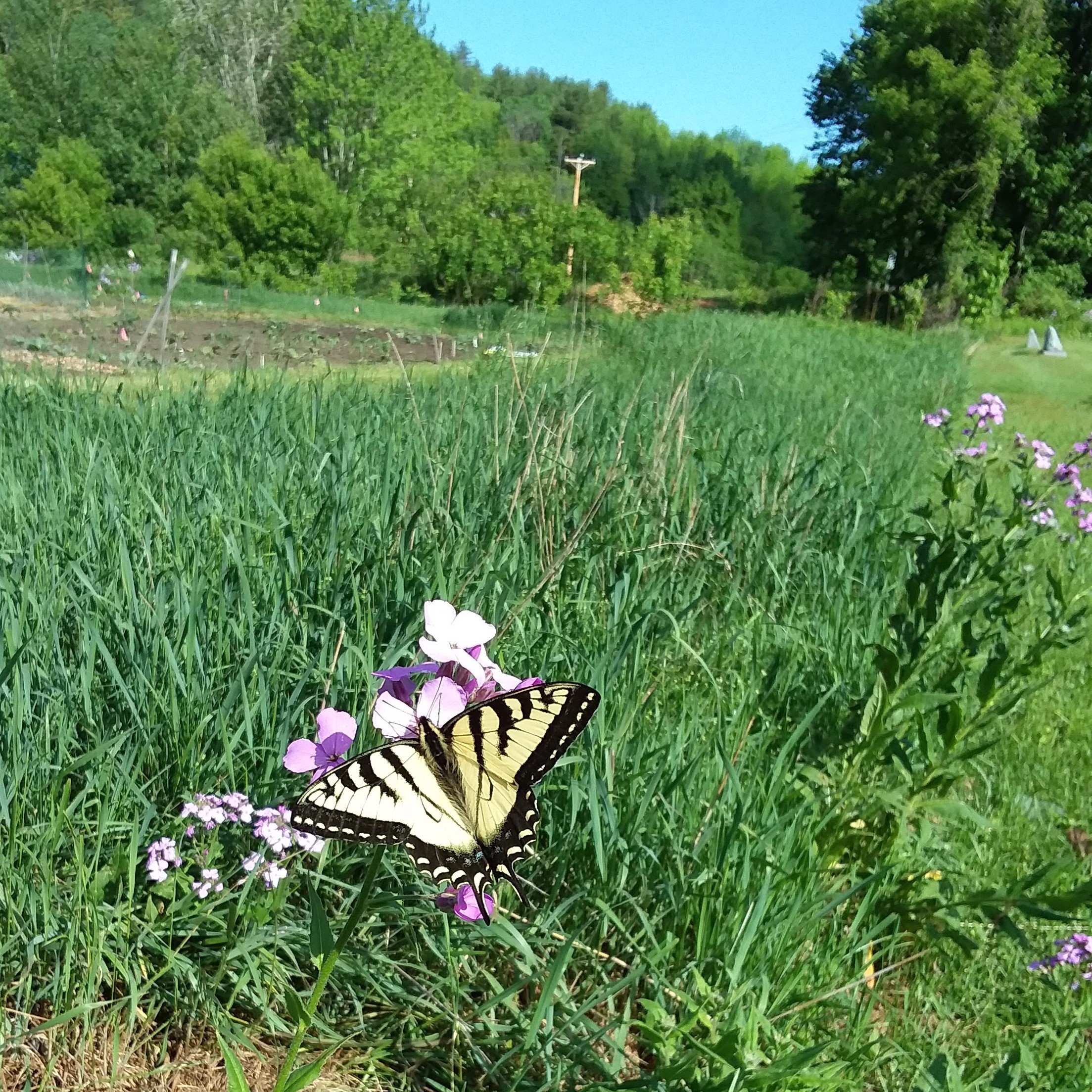
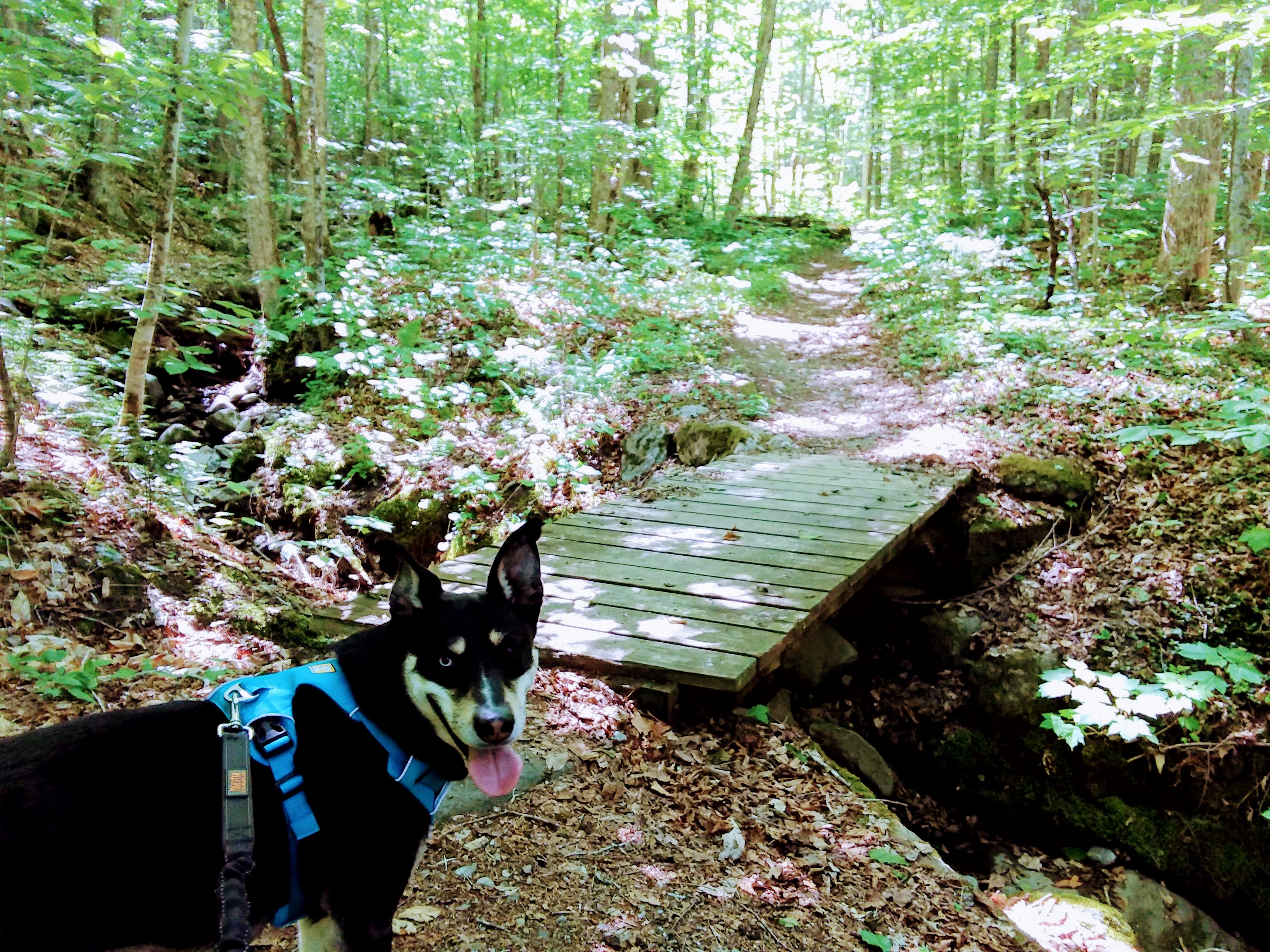
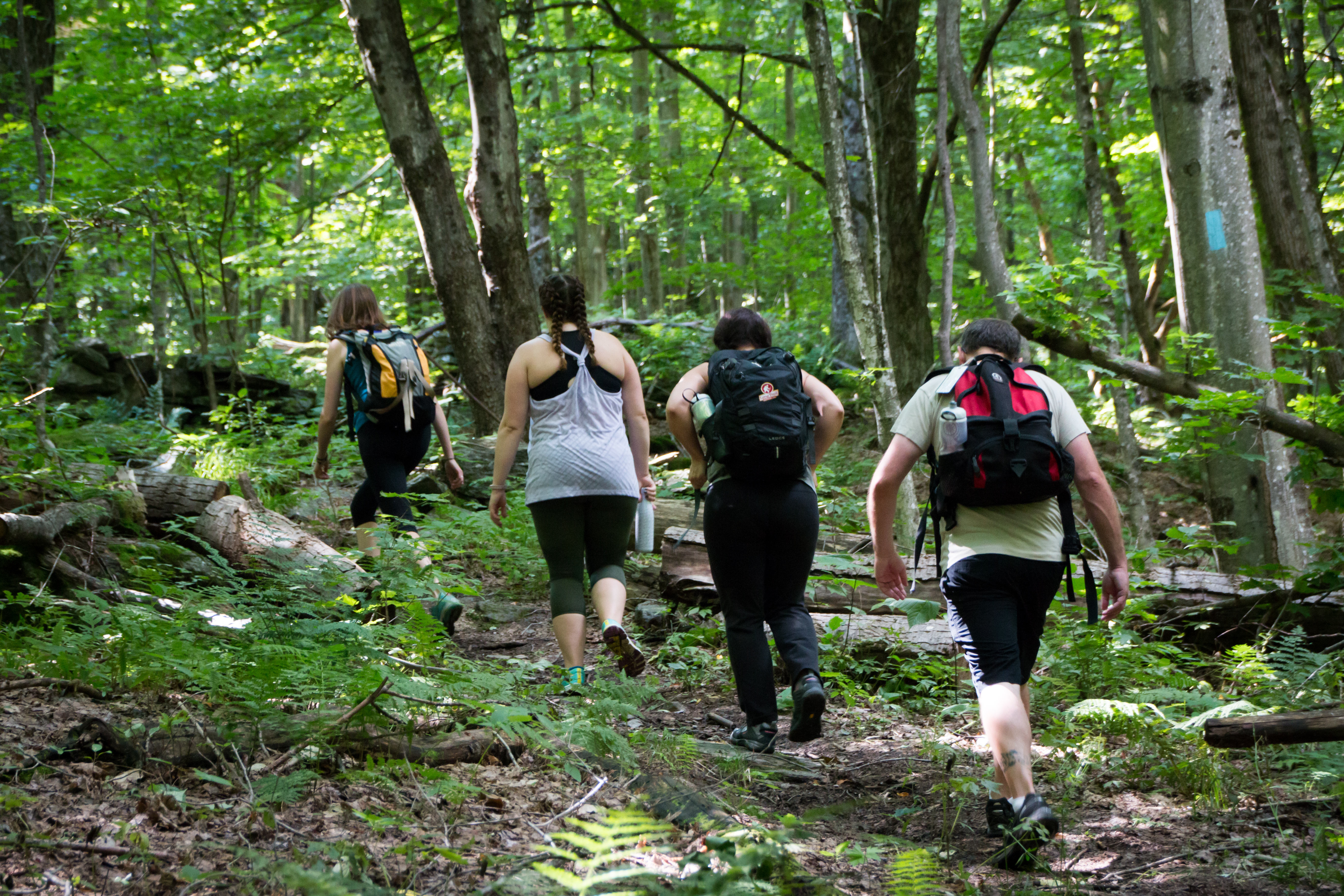
Uncover the secrets hidden within Vermont’s lush forests, hidden lakes, and wooded streams. We’re hot on the trail to help you get to know Vermont from a different perspective with this diverse selection of the most stunning hikes in the Waterbury area. All hiking distances and times listed below are calculated based on a round trip.
This information is only intended to guide you in selecting a hike; be sure to consult maps and trailhead information prior, and take weather and other conditions into account before starting your trip. For more hiking advice, packing lists, an extensive array of guidebooks, maps, and supplies, consult the Green Mountain Club either online or at their visitor center on Route 100 in Waterbury Center.
|
|
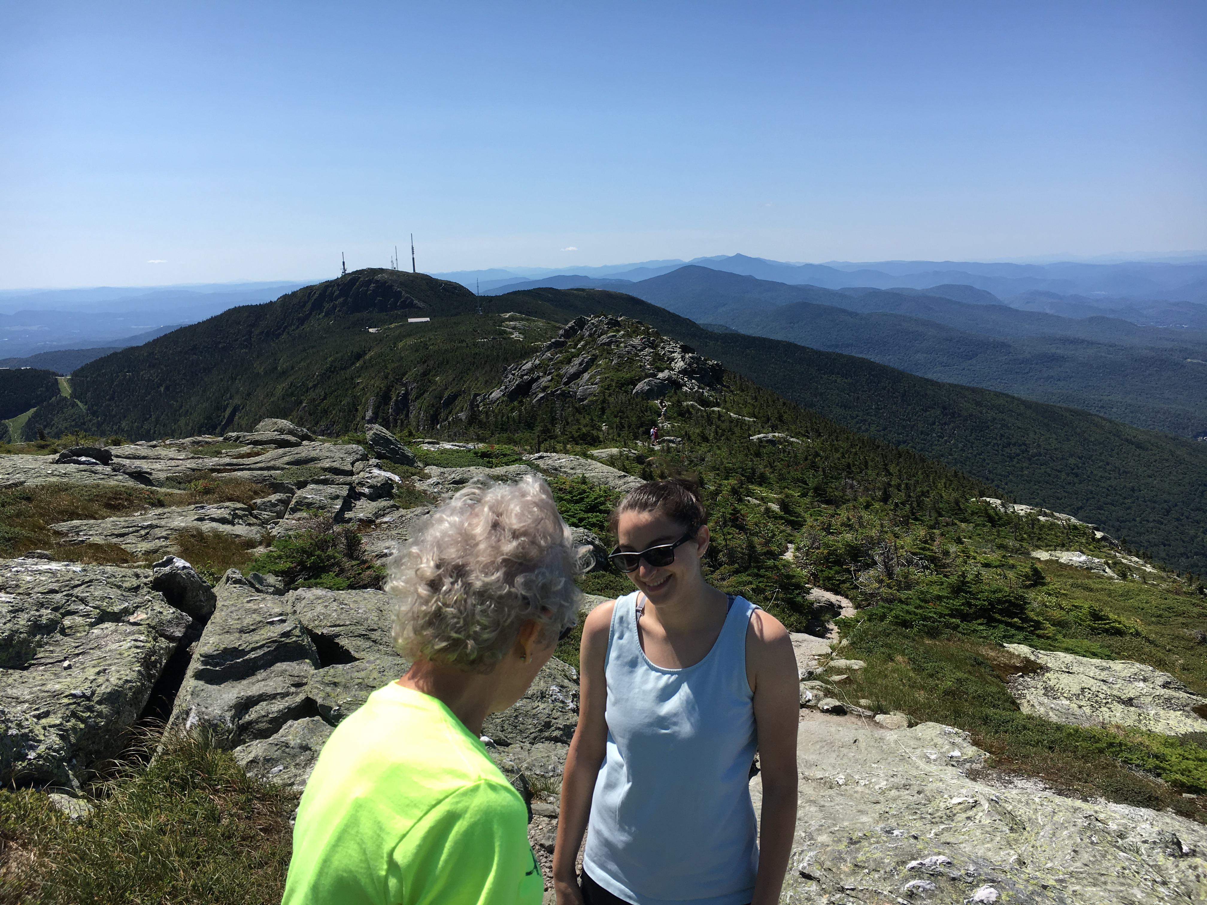 |
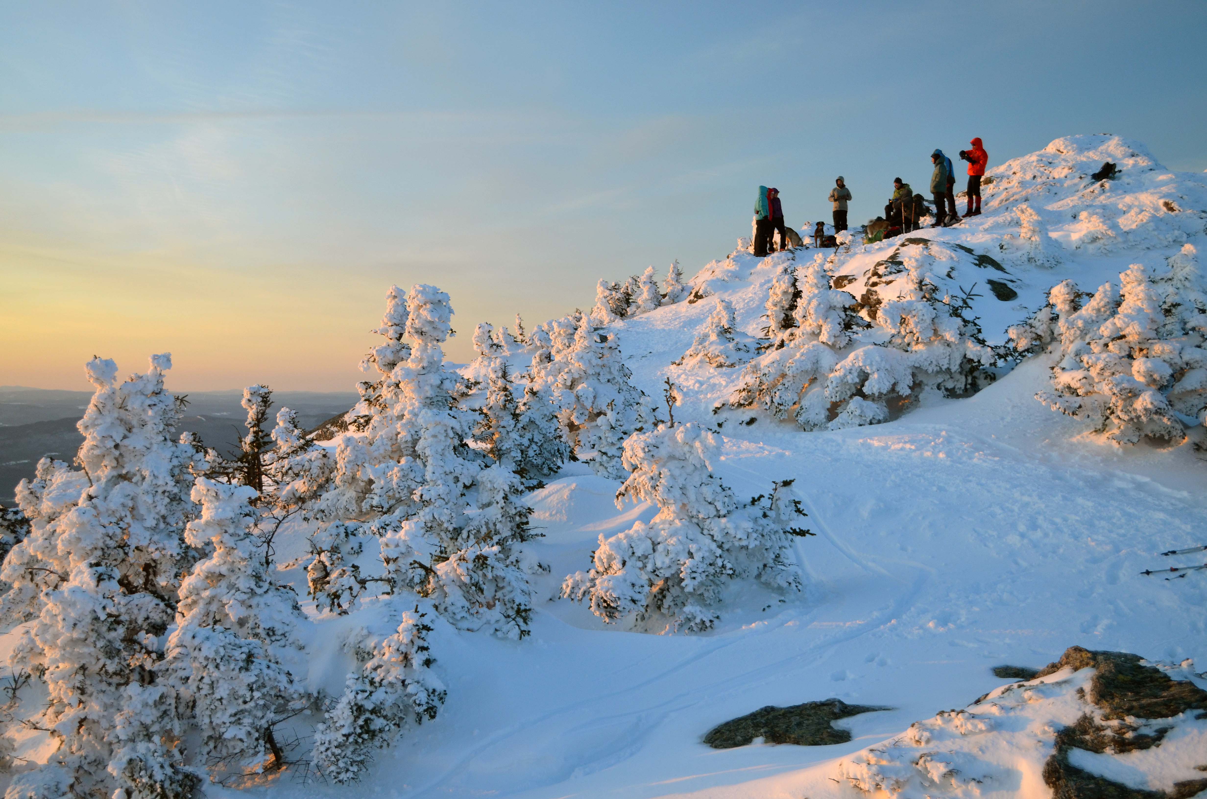
Mount MansfieldSummit from the Top of the Automobile Toll RoadDistance: 2.8 miles Difficulty: Easy Estimated hiking time: 2 hours Want to summit Vermont’s highest peak without putting in a day’s work? Head up the Mountain Road in Stowe and drive the four-mile Toll Road (open in summer only) to the top of Mount Mansfield for panoramic views of the Green Mountains, New York’s Adirondacks, Lake Champlain, and even Mount Washington in New Hampshire. The Long Trail traverses the alpine tundra along the ridgeline in which many people see a face and hikers can take a stroll from “The Nose” to “The Chin,” which at 4,393 feet marks Vermont’s highest point. |
 |
Peninsula Nature TrailWaterbury Center State ParkDistance: 0.5 mile Difficulty: Easy & ADA Accessible Estimated hiking time: 30 minutes This meandering trail along the shores of the park’s peninsula is ideal for young hikers, with ends of the trail located on either side of the boat launch. The path includes trailside signs that tell the story of legacy apple orchards, flora, fauna, and the geology along the trail. The park is perfect for families, featuring fishing platforms, a beach, grills, and restroom facilities. The trail and two fishing platforms are wheelchair accessible. |
 |
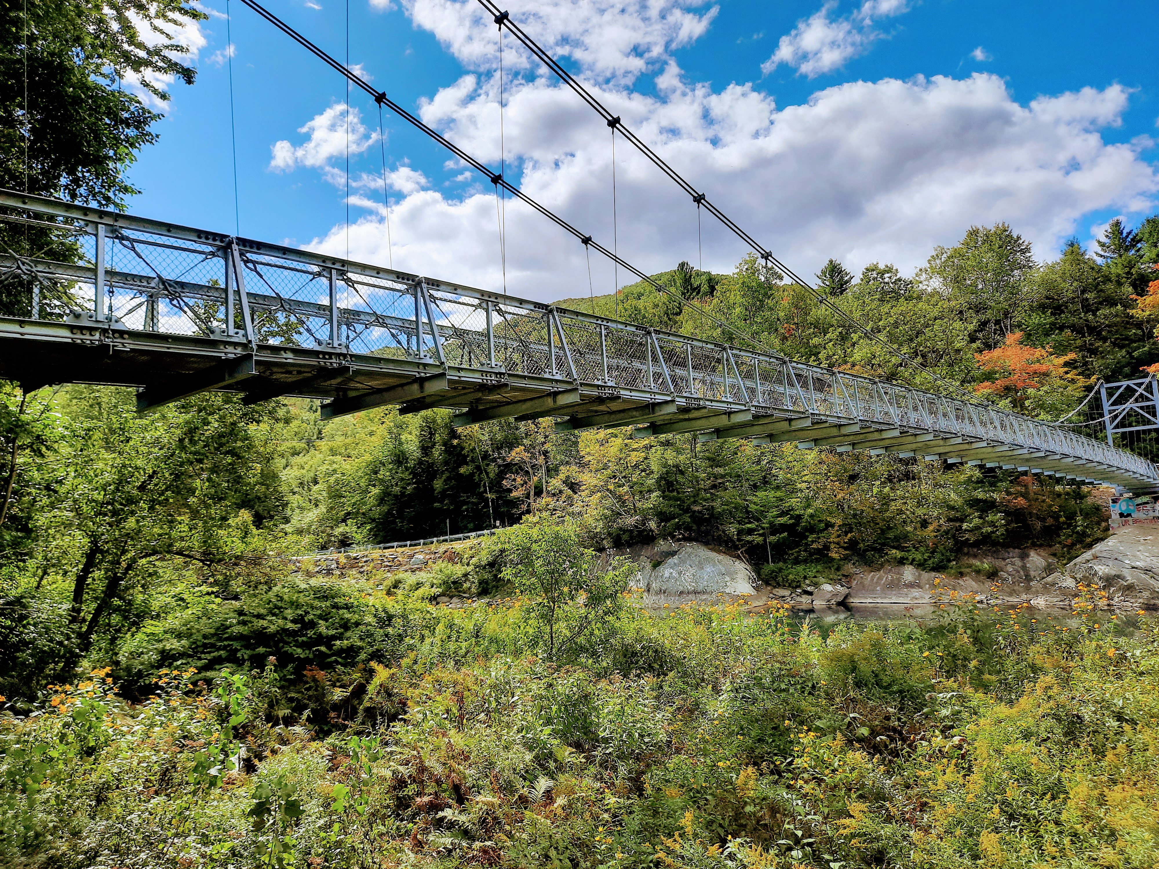
Cross Vermont TrailDistance: 2 miles Difficulty: Easy Estimated hiking time: 45 minutes This mellow out-and-back stroll starts behind the State Office complex in downtown Waterbury and follows the Winooski River towards the Winooski Street bridge. It is the perfect way to end a summer evening after dinner at one of Waterbury's downtown restaurants. |
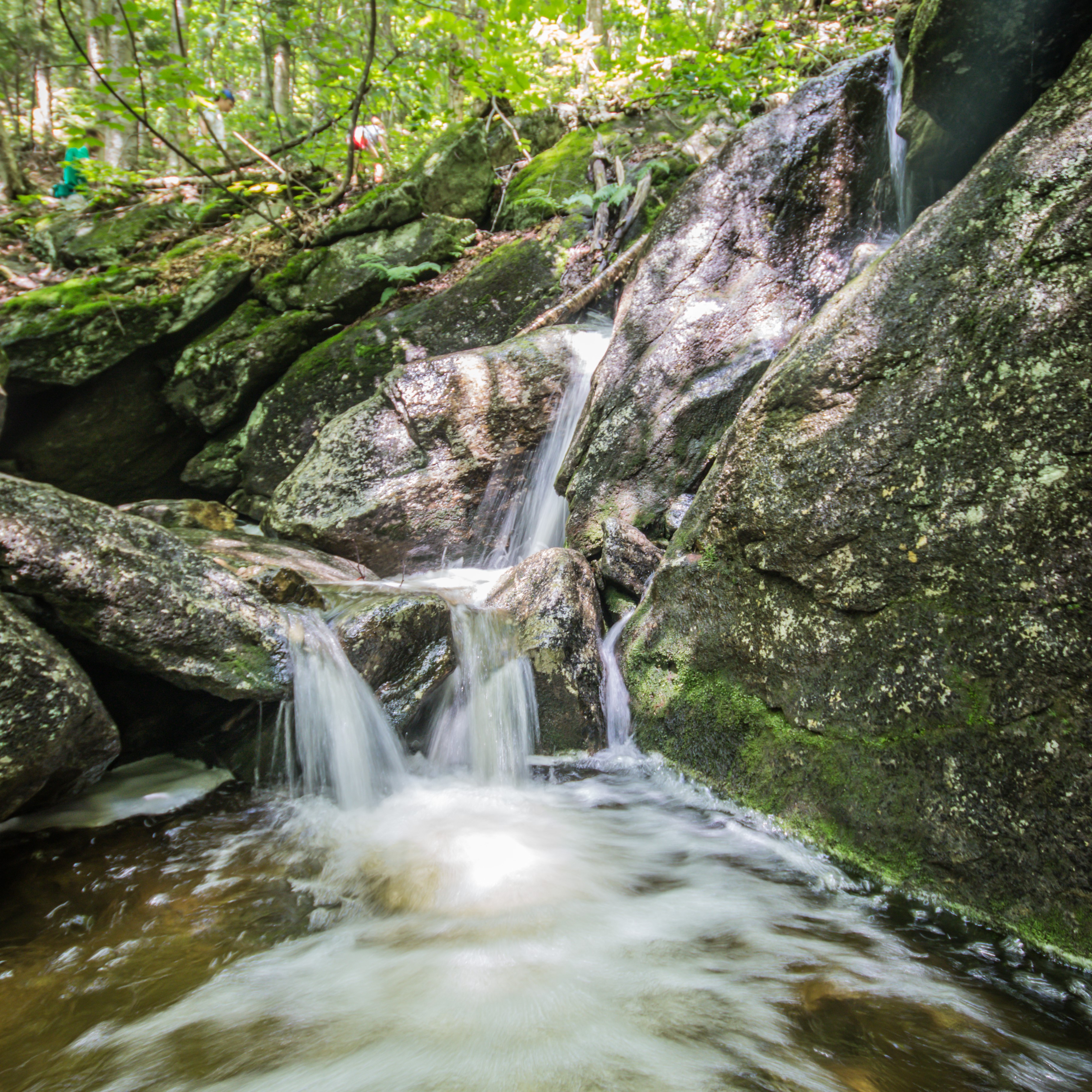 |
Mill Trail to Bingham FallsMount Mansfield State ForestDistance: 1.6 miles Difficulty: Easy, but be aware of steep bluffs near the waterfall Estimated hiking time: 30 minutes This is a small trail with a big payoff, great for families or to visit with guests. With just a short, gradual hike into the woods, you’ll be rewarded with towering waterfalls that cascade into clear pools. Cool off in the thundering water’s mist or take a dip in the calm pools below on a hot day. The rocks can be slippery so sturdy footwear is recommended. |
 |
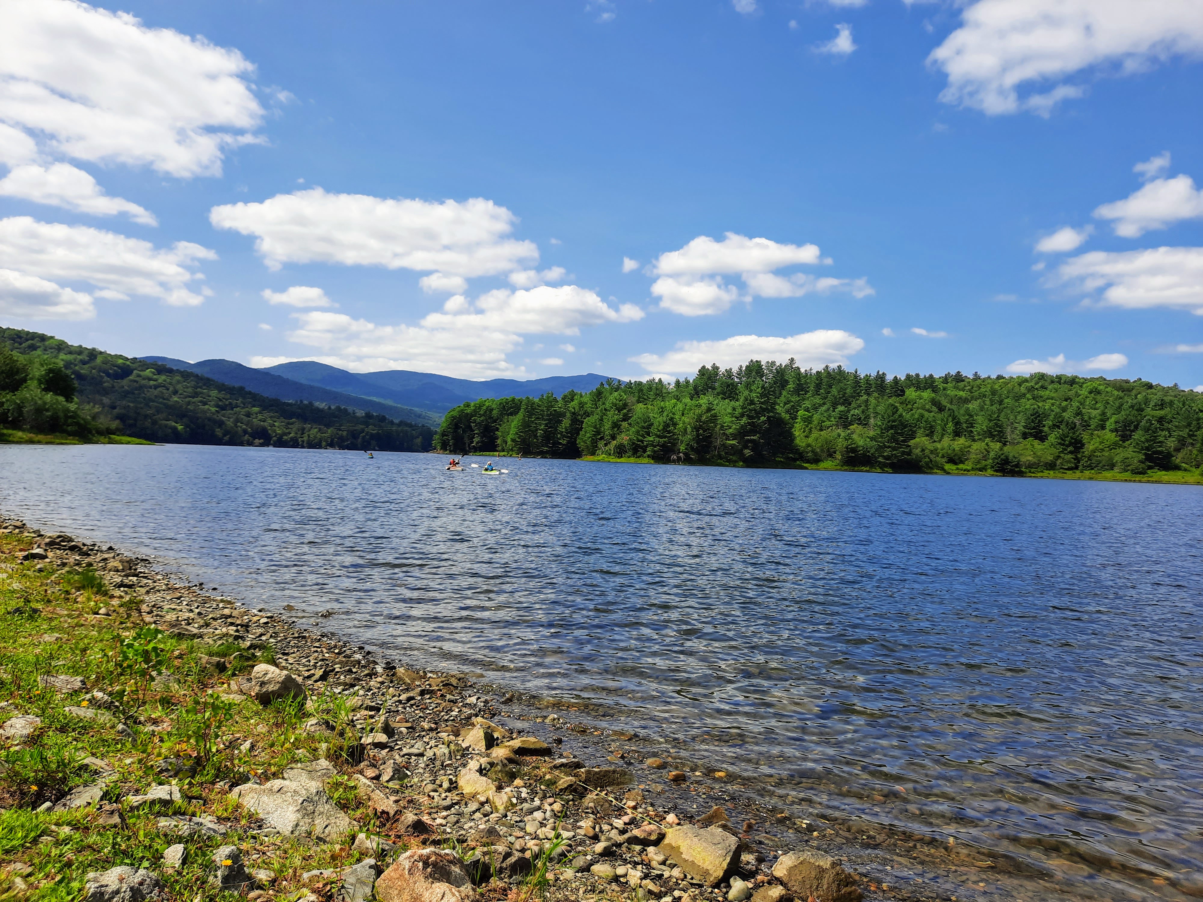
Stevenson Brook TrailLittle River State ParkDistance: 4.8 miles, with additional distances within the trail network Difficulty: Easy to Moderate Estimated hiking time: 3-4 hours The Stevenson Brook Trail goes through Little River State Park and connects to several other trails. Once the site of a thriving settlement, you’ll spot the evidence of hillside homesteads, sugarhouses, barns, sawmills, and a cemetery, in the foundations, clearings, and stone left behind. |
 |
Dalley Loop TrailLittle River State ParkDistance: 2.8 Difficulty: Moderate to Difficult Estimated hiking time: 1-2 hours This loop is named for Dan Dalley, a Civil War Veteran who survived 16 battles and escaped capture once. He bought land along the Dalley Loop in 1875 and lived on a 68-acre subsistence farm on Ricker Mountain’s rocky hillside; the farm foundations can be seen on the Stevenson Brook Trail. This trail meanders gently up a logging access road, levels out, and then heads steeply downhill. |
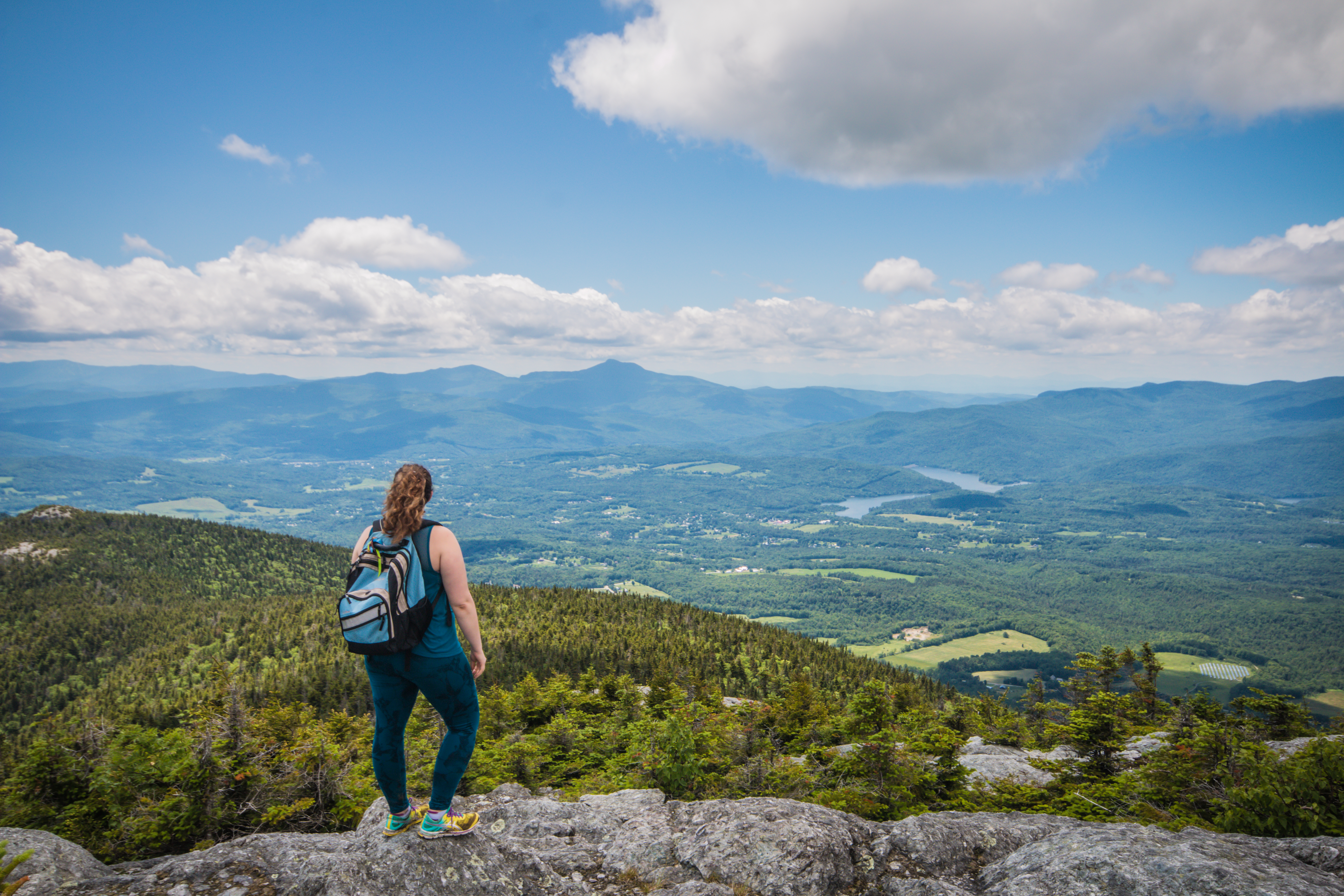 |
Mount HungerWaterbury TrailDistance: 4.4 Difficulty: Moderate to Difficult Estimated hiking time: 3-4 hours Approach central Vermont’s Mount Hunger from the west on the Waterbury Trail. Cool off in the waterfall before you leave the woodland and get ready for an exhilarating rock scramble near the peak. At the top, you are rewarded with 360-degree views of Mount Mansfield, Waterbury Reservoir, and Groton State Forest. |
 |
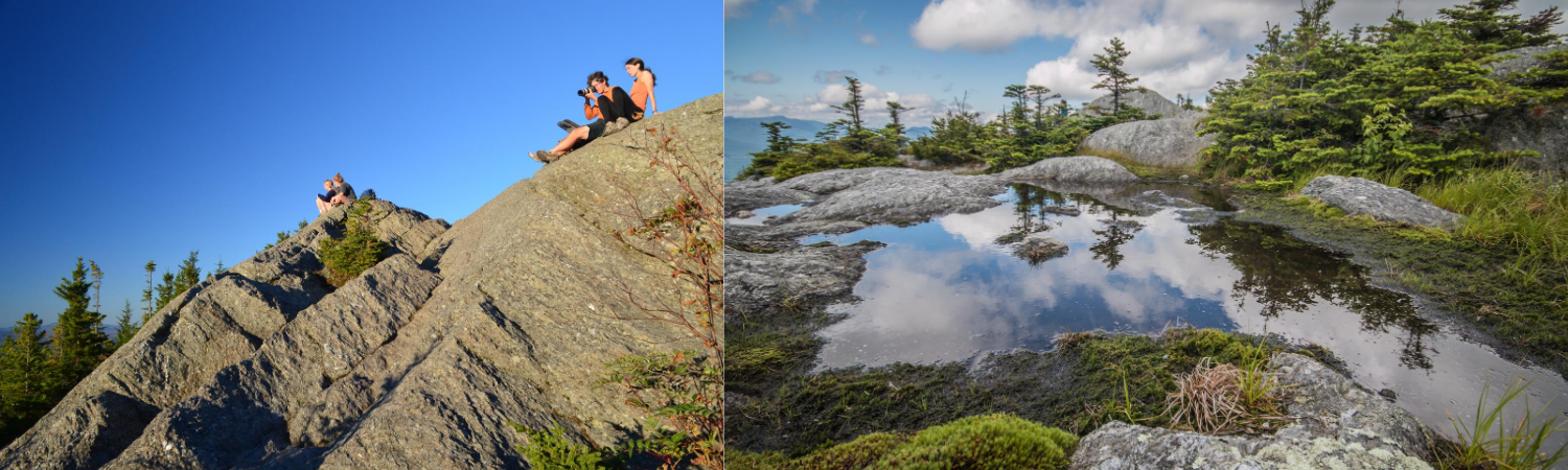
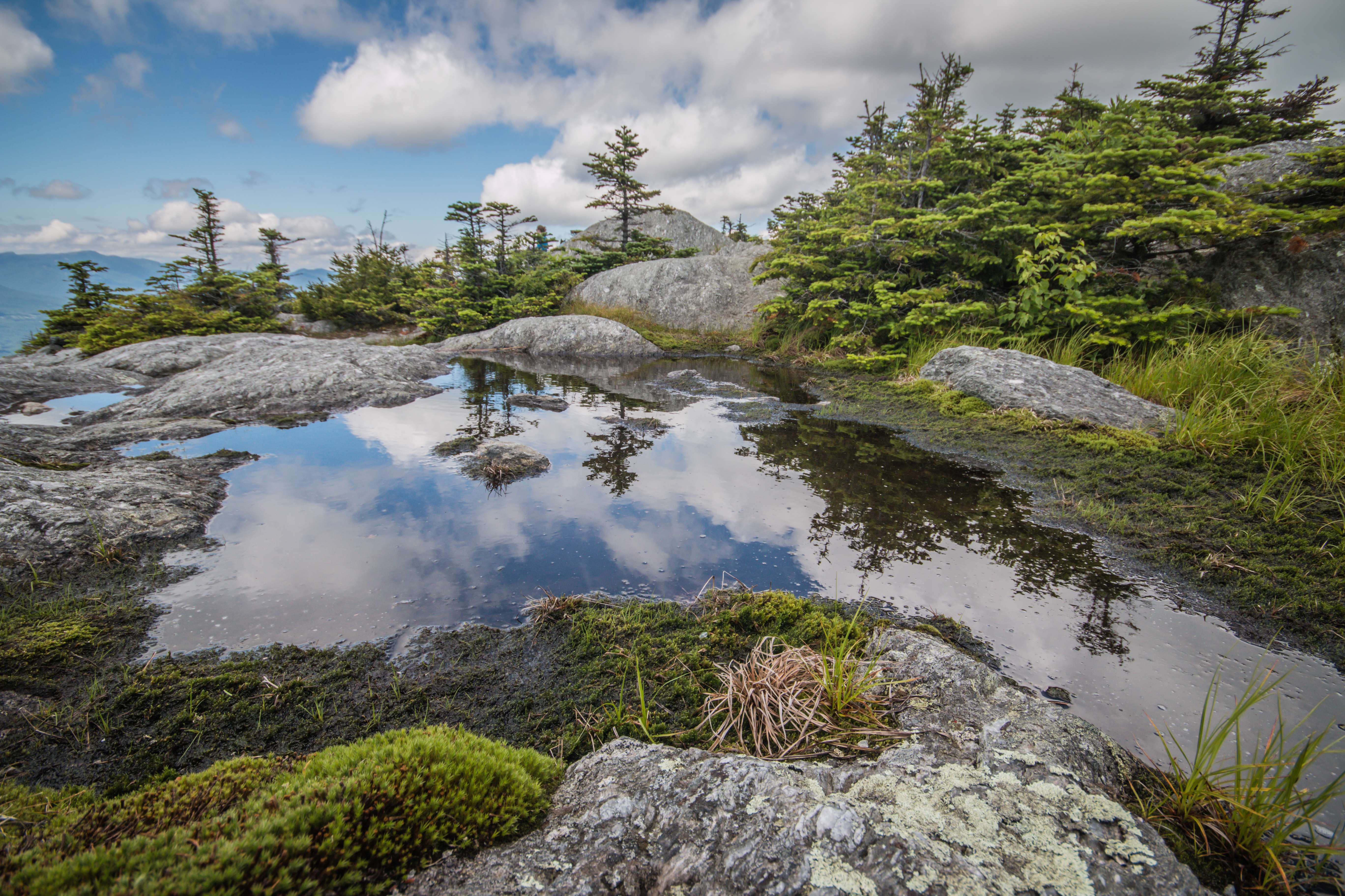
Camel’s HumpMonroe TrailDistance: 6.8 miles Difficulty: Moderate to Difficult Estimated hiking time: 4-6 hours Known for its distinct silhouette that some say resembles a crouching lion, Vermont’s third highest peak offers breathtaking views of the Green Mountains and New York’s Adirondacks. Camel’s Hump is one of only three Vermont mountains with alpine tundra similar to growth from 1,000 miles to the north. The Monroe Trail winds up the eastern flank of the mountain. Look for the cemetery in which namesake Will Monroe is buried, and a plaque dedicated to the crew of a B-24 Liberator bomber which crashed there in mountain fog in 1944. |
.jpg) |
Stowe Pinnacle TrailDistance: 3.6 Difficulty: Moderate Estimated hiking time: 2-3 hours This trail leads to a panoramic crest overlooking the Green Mountain range including the high peaks of Mount Mansfield and Camel’s Hump. Keep an eye out on the summit for the Stowe Pinnacle Dogs, a local pair of golden retrievers who have become the unofficial trail mascots. |
 |
Mount Mansfield RidgeSunset Ridge Trail and Underhill State ParkDistance: 6.5 miles Difficulty: Difficult Estimated hiking time: 4-6 hours Underhill State Park lies on the western slope of Mount Mansfield and of the Park’s four side trails, the Sunset Ridge Trail from the CCC Road is the most popular point to access Vermont’s Long Trail, which traverses the summit of Mount Mansfield. Follow the Long Trail north to “The Chin” of Mount Mansfield, Vermont’s highest point at just under 4,400 feet. |
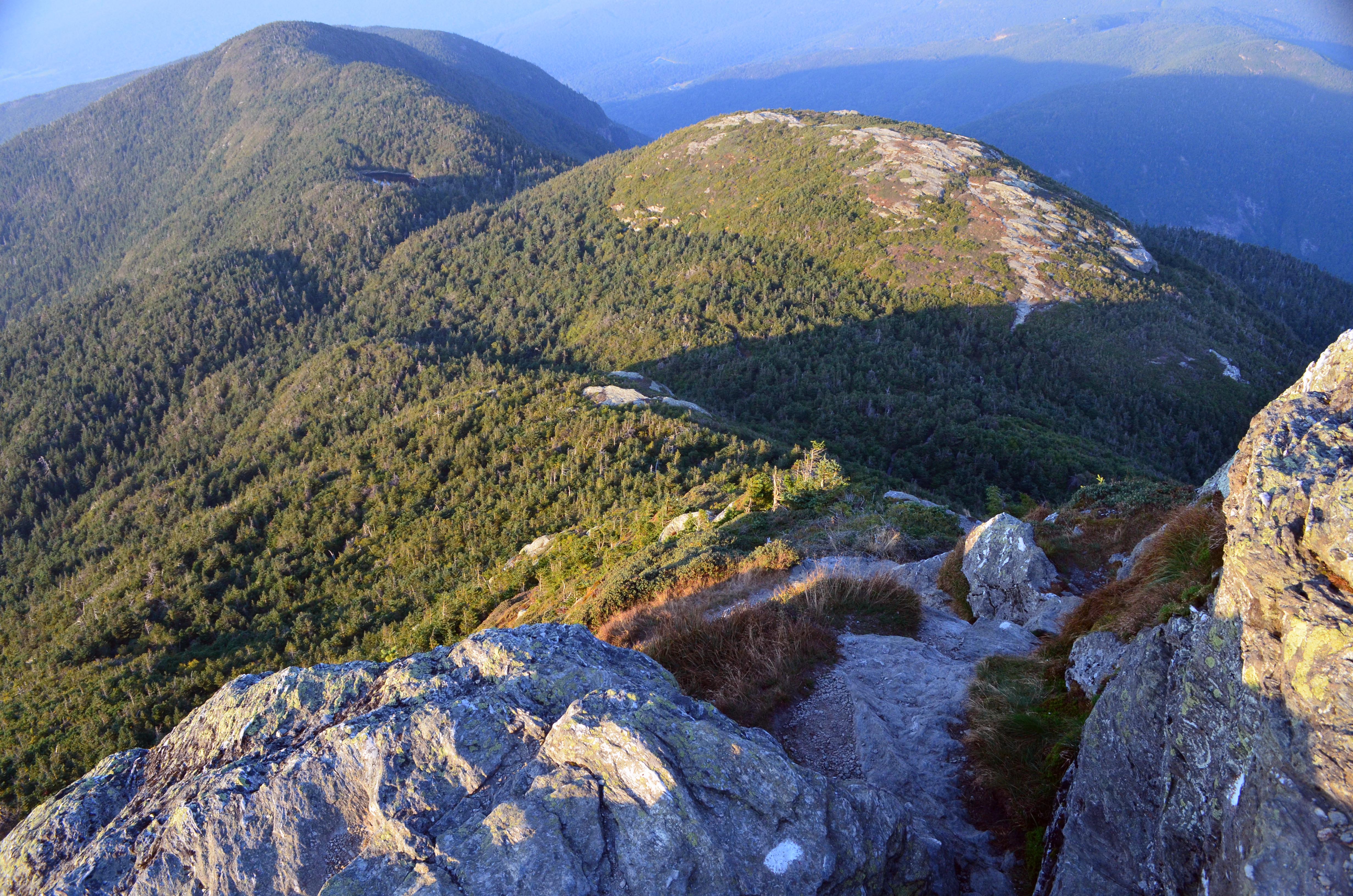 |
Long Trail along Mount MansfieldSouth to the Chin, Mount Mansfield State ForestDistance: 4.6 Difficulty: Difficult Estimated hiking time: 4-6 hours This section of the Long Trail approaches Mount Mansfield from Smugglers’ Notch. The trail heads south through the forest with a steep ascent near the Green Mountain Club’s Taft Lodge, one of the oldest and largest shelters in the Long Trail system. It follows through Eagle Pass and leads to the ascent of “The Chin,” Vermont's highest point. |